This article needs additional citations for verification. (November 2022) |
The Yagachi is a river in Karnataka, India. It is a major tributary of Hemavati river.[3] It rises in the Baba Budan Hill Range near the city of Chikkamagaluru, flows through Belur taluk, Hassan District. It joins the Hemavati River, near Gorur. It has a small tributary called Votehole or Watehole. Votehole dam is built on the stream (1.51 Tmcft) near Rajanahalli.[4] The length of Left bank and Right bank canal of Votehole is 10 km & 40 km respectively.
| Yagachi | |
|---|---|
 | |
| Location | |
| Country | India |
| States | Karnataka |
| Region | Southern India |
| Origin | Chikkamagaluru district, Karnataka |
| Physical characteristics | |
| Source | Chandradrona Mountain Range, Chikmagalur |
| • location | Karnataka, India |
| • coordinates | 13°23′13″N 75°43′05″E / 13.38688°N 75.71795°E |
| • elevation | 1,897 m (6,224 ft) |
| Mouth | Hemavati River |
• location | Gorur, Karnataka, India |
• coordinates | 12°53′41″N 76°00′01″E / 12.89472°N 76.00028°E |
• elevation | 910 m (2,990 ft) |
| Length | 60 km (37 mi) [1] |
| Basin size | 1,002 km2 (387 sq mi) [2] |
| Width | |
| • maximum | 90 metres (300 ft) |
| Discharge | |
| • maximum | 25,000 cubic feet per second (710 m3/s) |
| Basin features | |
| Tributaries | |
| • right | Votehole |
The Yagachi dam was constructed in the year 2001. The reservoir is situated at an elevation of 965 meters above MSL. The length of the Yagachi dam is 1280 meters. The maximum height above the foundation of the reservoir is 26.237 meters.
Adventure Sports
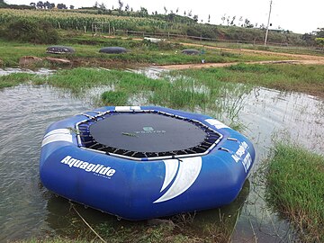
editCapture water sports Center located near Yagachi River. Perfect spot for water games. Jet Ski, Speed Boat Ride, Banana Boat, Bumper Ride, Kayaking, Cruise Boat are available here.near Belur city.
Storage Capacity
editYagachi dam has a Gross Storage Capacity of 3.17 Tmcft. On 10 August 2019, the dam recorded a highest outflow of about 25,000 cusecs, due to torrential rains in Chikkamagaluru Taluk. Its catchment area extends from south of Mullayyanagiri (Bababudan Range) to Gorur Dam.
Beneficiaries
editYagachi, along with Votehole serves the purpose of irrigation and drinking water for the cities of Belur, Chikkamagaluru, Arsikere and Hassan.
Gallery
edit-
 Yagachi Dam at Belur
 -
 Boat Game at Capture water sports center
 -
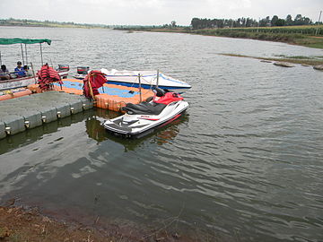 Boats and water bike at Yagachi Dam
 -
 Capture water sport group boat
 -
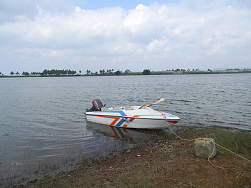 Motor boat at Yagachi Dam


Notes
edit- ^ "River info from KSPCB" (PDF). Retrieved 14 August 2024.
- ^ "Drainage Morphometric Analysis of the Yagachi Watershed Area" (PDF). Retrieved 14 August 2024.
- ^ Yagachi River (Approved) at GEOnet Names Server, United States National Geospatial-Intelligence Agency
- ^ "Less rain in Votehole Catchment". Retrieved 30 July 2023.