About: Ring 2 (Oslo)
An Entity of Type: road,
from Named Graph: http://dbpedia.org,
within Data Space: dbpedia.org
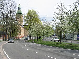
Ring 2, sometimes called Kirkeveiringen and until 2010 officially known as National Road 161 (Norwegian: Riksvei 161), and now also officially County road 161 (Norwegian: Fylkesvei 161), is an important ring road and surface street through densely populated parts of Oslo, Norway.


