File:Mexico Oaxaca location map.svg
Jump to navigation
Jump to search

Size of this PNG preview of this SVG file: 800 × 526 pixels. Other resolutions: 320 × 211 pixels | 640 × 421 pixels | 1,024 × 674 pixels | 1,280 × 842 pixels | 2,560 × 1,684 pixels | 3,812 × 2,508 pixels.
Original file (SVG file, nominally 3,812 × 2,508 pixels, file size: 2.11 MB)
Captions
Captions
Add a one-line explanation of what this file represents
W3C-validity not checked.
| Description |
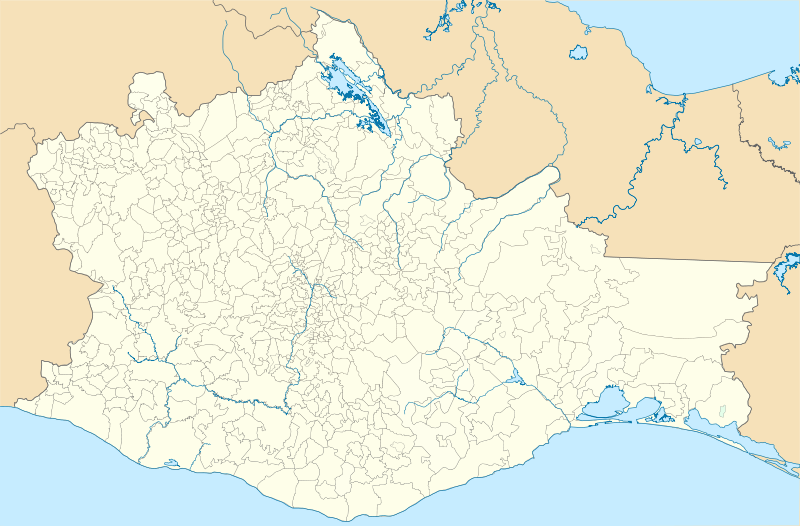
Location Map of en:Oaxaca Equirectangular projection, Geographic limits of the map:
|
| Date | |
| Source | Own work |
| Author | Battroid (talk) |
I, the copyright holder of this work, hereby publish it under the following license:
| I, the copyright holder of this work, release this work into the public domain. This applies worldwide. In some countries this may not be legally possible; if so: I grant anyone the right to use this work for any purpose, without any conditions, unless such conditions are required by law. |
File history
Click on a date/time to view the file as it appeared at that time.
| Date/Time | Thumbnail | Dimensions | User | Comment | |
|---|---|---|---|---|---|
| current | 19:09, 26 November 2011 | | 3,812 × 2,508 (2.11 MB) | Battroid (talk | contribs) | {{ValidSVG}} {{Information |Description=Location Map of en:Oaxaca Equirectangular projection, Geographic limits of the map: * N: 18.71° N * S: 15.60° N * W: 98.65° W * E: 93.70° W |Source={{own work}} |Date=2011-11-19 |Author=[[User:Battroid|Batt |
| 05:49, 20 November 2011 |  | 3,812 × 2,508 (2.08 MB) | Battroid (talk | contribs) | {{ValidSVG}} {{Information |Description=Location Map of en:Oaxaca Equirectangular projection, Geographic limits of the map: * N: 18.71° N * S: 15.60° N * W: 98.65° W * E: 93.70° W |Source={{own work}} |Date=2011-11-19 |Author=[[User:Battroid|Batt |
You cannot overwrite this file.
File usage on Commons
The following 10 pages use this file:
File usage on other wikis
The following other wikis use this file:
- Usage on ba.wikipedia.org
- Usage on ce.wikipedia.org
- Usage on de.wikipedia.org
- Oaxaca de Juárez
- Puerto Escondido
- Santa María del Tule
- Salina Cruz
- Santa Cruz de Bravo
- Juchitán de Zaragoza
- Wikipedia:Kartenwerkstatt/Positionskarten/Nordamerika
- Paso Real de Sarabia
- Estadio Lic. Eduardo Vasconcelos
- Huajuapan de León
- Chinantequilla
- Vorlage:Positionskarte Mexiko Oaxaca
- Estadio Benito Juárez
- Liste der Municipios in Oaxaca
- San Juan Bautista Tuxtepec
- Nationalpark Benito Juárez
- Oaxaca-Erdbeben 2018
- Capulálpam de Méndez
- Ixtlán de Juárez
- Santo Domingo Yanhuitlán
- Asunción Nochixtlán
- Santa María Apazco
- San Juan Bautista Coixtlahuaca
- San Juan Teposcolula
- San Pedro y San Pablo Teposcolula
- Santiago Tilantongo
- San Pedro Pochutla
- Puerto Ángel
- Villa de Zaachila
- San Pablo Villa de Mitla
- Mazunte
- Usage on eo.wikipedia.org
- Usage on es.wikipedia.org
- Usage on fr.wikipedia.org
View more global usage of this file.