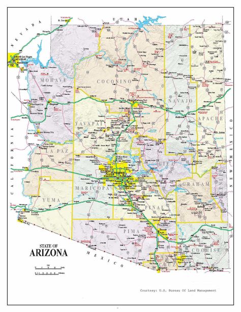
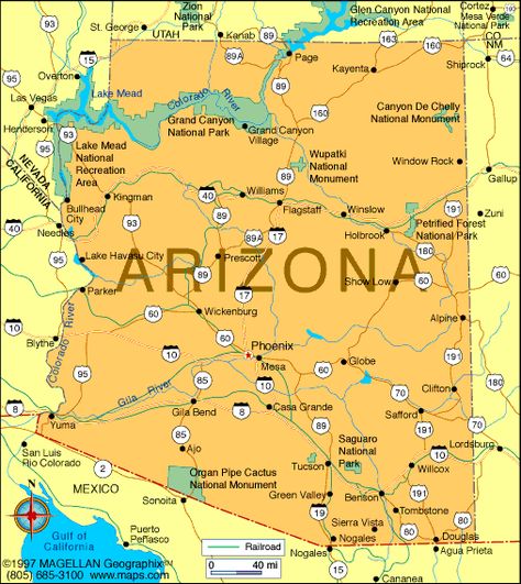
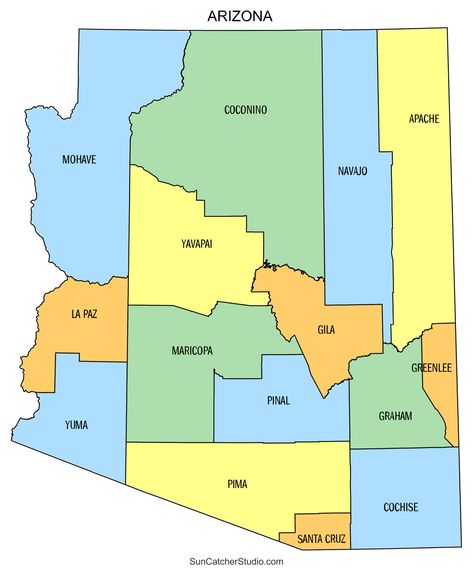
Map of arizona

Discover Pinterest’s best ideas and inspiration for Map of arizona. Get inspired and try out new things.
313 people searched this
·
Last updated 1mo
the arizona state map is shown in yellow and has several cities, roads, and parks

Having a Large printable map of Arizona at your disposal allows for easy navigation and planning for trips around the state. You can pinpoint specific locations, scenic routes, national parks, and key landmarks without relying on digital devices, ensuring your adventure stays on track, even in areas with limited cell service.

143
a map of the state of texas with cities and towns in each country's capital

Interactive maps of Arizona, with links to detailed pages about national parks, national monuments, state parks and many other scenic areas

42

Related interests

Map of arizona and more

Explore related boards