File:Map of Maine highlighting Cumberland County.svg

Size of this PNG preview of this SVG file: 400 × 600 pixels. Other resolutions: 160 × 240 pixels | 320 × 480 pixels | 512 × 768 pixels | 683 × 1,024 pixels | 1,366 × 2,048 pixels | 723 × 1,084 pixels.
Original file (SVG file, nominally 723 × 1,084 pixels, file size: 71 KB)
Captions
Captions
Add a one-line explanation of what this file represents
Summary
| Description |
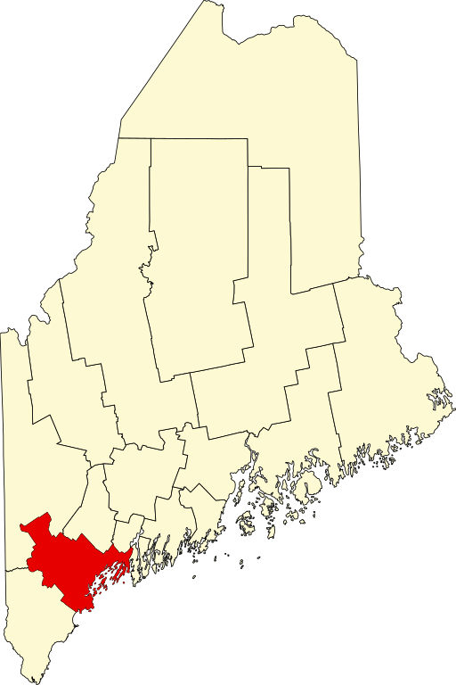
English: This is a locator map showing Cumberland County in Maine. For more information, see Commons:United States county locator maps. |
| Date | |
| Source |
Own work: English: The maps use data from nationalatlas.gov, specifically countyp020.tar.gz on the Raw Data Download page. The maps also use state outline data from statesp020.tar.gz. The Florida maps use hydrogm020.tar.gz to display Lake Okeechobee. |
| Author | David Benbennick |
Licensing
| I, the copyright holder of this work, release this work into the public domain. This applies worldwide. In some countries this may not be legally possible; if so: I grant anyone the right to use this work for any purpose, without any conditions, unless such conditions are required by law. |
File history
Click on a date/time to view the file as it appeared at that time.
| Date/Time | Thumbnail | Dimensions | User | Comment | |
|---|---|---|---|---|---|
| current | 21:32, 24 June 2024 | | 723 × 1,084 (71 KB) | Nux (talk | contribs) | fix rendering (remove clipping) |
| 12:46, 12 February 2006 |  | 3,252 × 4,876 (131 KB) | David Benbennick (talk | contribs) | {{subst:User:Dbenbenn/clm|county=Cumberland County|state=Maine|type=county}} |
You cannot overwrite this file.
File usage on Commons
The following 8 pages use this file:
- Lighthouses in Maine
- Category:Births in Cumberland County, Maine
- Category:Cumberland County, Maine
- Category:Deaths in Cumberland County, Maine
- Category:Geography of Cumberland County, Maine
- Category:Maps of Cumberland County, Maine
- Category:People of Cumberland County, Maine
- Category:Populated places in Cumberland County, Maine
File usage on other wikis
The following other wikis use this file:
- Usage on ar.wikipedia.org
- بورتلاند (مين)
- مقاطعة كمبرلاند (مين)
- ساوث بورتلاند
- وستبروك
- كاب إليزابث (مين)
- كاسكو (مين)
- كومبرلاند (مين)
- فريبورت (مين)
- فراي أيلاند (مين)
- غورهام (مين)
- هاربسويل (مين)
- هاريسون (مين)
- نابلس (مين)
- نيو غلويسستر (مين)
- قائمة مقاطعات مين
- غراي (الولايات المتحدة)
- برونزويك (مين)
- نورث ويندهام (مين)
- كامبرلاند سنتر (مين)
- يارموث (مين)
- سكاربورو (مين)
- قالب:مقاطعة كمبرلاند (مين)
- Usage on be.wikipedia.org
- Usage on bg.wikipedia.org
- Usage on bpy.wikipedia.org
- Usage on ca.wikipedia.org
- Portland (Maine)
- Baldwin (Maine)
- Brunswick (Maine)
- Cape Elizabeth
- Casco (Maine)
- Cumberland (Maine)
- Falmouth (Maine)
- Freeport (Maine)
- Gorham (Maine)
- Gray (Maine)
- Harpswell
- Harrison (Maine)
- Long Island (Maine)
- Naples (Maine)
- New Gloucester
- North Yarmouth
- Pownal (Maine)
- Raymond (Maine)
- Scarborough (Maine)
- Sebago
- Standish (Maine)
- Westbrook (Maine)
- Windham (Maine)
View more global usage of this file.